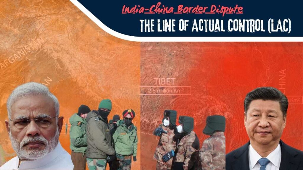
The Line of Actual Control (LAC) is a 3,488 km demarcation line that has been a point of contention between India and China since the Sino-Indian War of 1962. Today, it serves as an unrecognized border between these two Asian giants. Neither India nor China fully accepts the LAC as a legitimate boundary, with India asserting that its easternmost border extends to the eastern end of Aksai Chin, a region China has occupied since 1962. Conversely, China claims its westernmost border extends further into areas it controls. This ongoing dispute over the India-China Border highlights the complex and tense nature of their relationship.
The LAC: A Divided Line
In the current context, the LAC is divided into three sectors:
- Western Sector: This part separates Ladakh from the Aksai Chin region, which China occupies.
- Middle Sector: This separates Indian states like Himachal Pradesh and Uttarakhand from Tibet.
- Eastern Sector: This forms the border between Arunachal Pradesh and Tibet, marked by the McMahon Line, a boundary demarcated by the British.
These three sectors have been the epicenter of numerous disputes between India and China for decades, with the Western Sector around Ladakh witnessing the most aggressive clashes. For example, from 2020 to 2021, areas like the Depsang Plains, Galwan Valley, and Pangong So became hotbeds of violent confrontations between Chinese and Indian forces. These skirmishes were often sparked by Chinese encroachment or India’s ambitious road projects, like the Dar Buk Shok Daulat Beg Oldie road.
Recent Developments in Ladakh
The region of Eastern Ladakh is back in the news, this time due to the construction of a bridge by China to strengthen its military infrastructure around Ladakh, an area it has controlled since 1958. This newly constructed bridge connects the Northern Bank of Pangong Lake to the Southern Bank, facilitating easier mobilization of Chinese troops and their supplies near the LAC. The bridge’s proximity, just 20 km from Finger 8 on the LAC, a point India has long claimed, raises concerns among Indian authorities. They fear the bridge’s completion could lead to increased activities by the People’s Liberation Army (PLA) in this disputed territory, potentially repeating the violent incidents of 2020.
The Strategic Importance of Pangong Lake
Pangong Lake, an endorheic lake located between Eastern Ladakh and Western Tibet, has become a focal point of the India-China border conflict. “Pangong” means high grassland in Tibetan, and “So” means lake. The lake is not a single entity but is formed by five different water bodies or sub-lakes, including Pangong So and Naxo Rum So, known as Twin Lakes. The 135 km long Pangong So is situated at 14,000 feet in the Himalayas. About 40% of the lake is in India, 50% in Tibet occupied by China, and the remaining 10% is disputed.
The lake is surrounded by three mountain ranges: the Karakoram to the west, the Kailash Range to the south, and the Chang Chenmo Range to the north and east. The dispute centers on these ranges, particularly around the eight “finger points” that stretch out into the lake, resembling fingers dipped in water when viewed from above.
Why is China Intensifying Its Activities?
China’s recent construction projects, including the bridge near Pangong Lake, are seen as efforts to secure strategic points like Spanggur Gap and Rejang La, crucial for controlling the region. Spanggur Gap, a passage connecting Tibet to Ladakh, is considered the second gateway to the Chushul Valley. During the 1962 war, Indian troops had to retreat from this area, leading to Chinese control. China believes that complete control over Pangong Lake would secure the Spanggur Gap, making it easier to dictate terms near the LAC.
India’s Response
India has not remained passive in the face of these aggressive activities. When China intensified its construction near Pangong Lake in 2020, India responded by initiating the Black Top Road Project near Finger Four, which is expected to be completed by 2025. This project aims to strengthen India’s hold on the Northern Bank of Pangong Lake. Additionally, India is making several roads, like the Darbuk-Shyok-Daulat Beg Oldi road, all-weather accessible, and constructing alternative routes and tunnels to ensure quick troop deployment in emergencies.
Global Implications
The India-China border conflict has significant implications for global stability. The aggressive posturing by two of the world’s most populous nations can have far-reaching effects on regional security and international relations. For the United States, maintaining a neutral yet vigilant stance is crucial. The US has strategic partnerships with both countries, and any escalation could impact trade, regional alliances, and global peace.
How should the international community respond to the ongoing India-China border conflict? We invite you to share your thoughts and comments below. Your insights are valuable in understanding the broader implications of this conflict.

